

[Ecosse - Trek] Le Cape Wrath Trail du Nord au Sud
13 days
291km
+17029m
/ -5088m

Copier le lien ci-dessus (ctrl+c) et partagez-le où bon vous semble. Ou cliquez sur les liens de partage (fb/twitter)
![]()
![]()
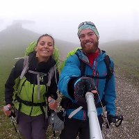
Trek en autonomie totale à travers les Highlands Écossais, des paysages de dingues, un isolement totale, sentiments de liberté etc.. Terrain et navigation pas évidentes et à ne pas faire l'été en raison des midges!
Plus d'infos --> http://www.ad-photos.fr/ecosse-2014-the-cape-wrath-trail-du-nord-au-sud/
NEWS: La vidéo du trek: http://www.ad-photos.fr/video-the-cape-wrath-trail-ecosse-2014/
Plus d'infos --> http://www.ad-photos.fr/ecosse-2014-the-cape-wrath-trail-du-nord-au-sud/
NEWS: La vidéo du trek: http://www.ad-photos.fr/video-the-cape-wrath-trail-ecosse-2014/
Activité :
tekking/hiking
Statut :
done
Distance :
291km
DATE :
7/17/14
Durée :
13 days
Dénivelées :
+17029m
/ -5088m
Alti min/max :
7m/373m
Eco travel
Details :
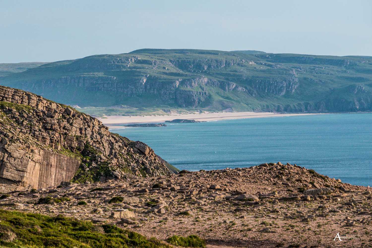
Le nord de l'Ecosse est accessible par Bateau, ferry depuis le Nord de la France ou bus depuis Lille, Paris (bon il y a quelques changements quand même) mais c'est faisable!


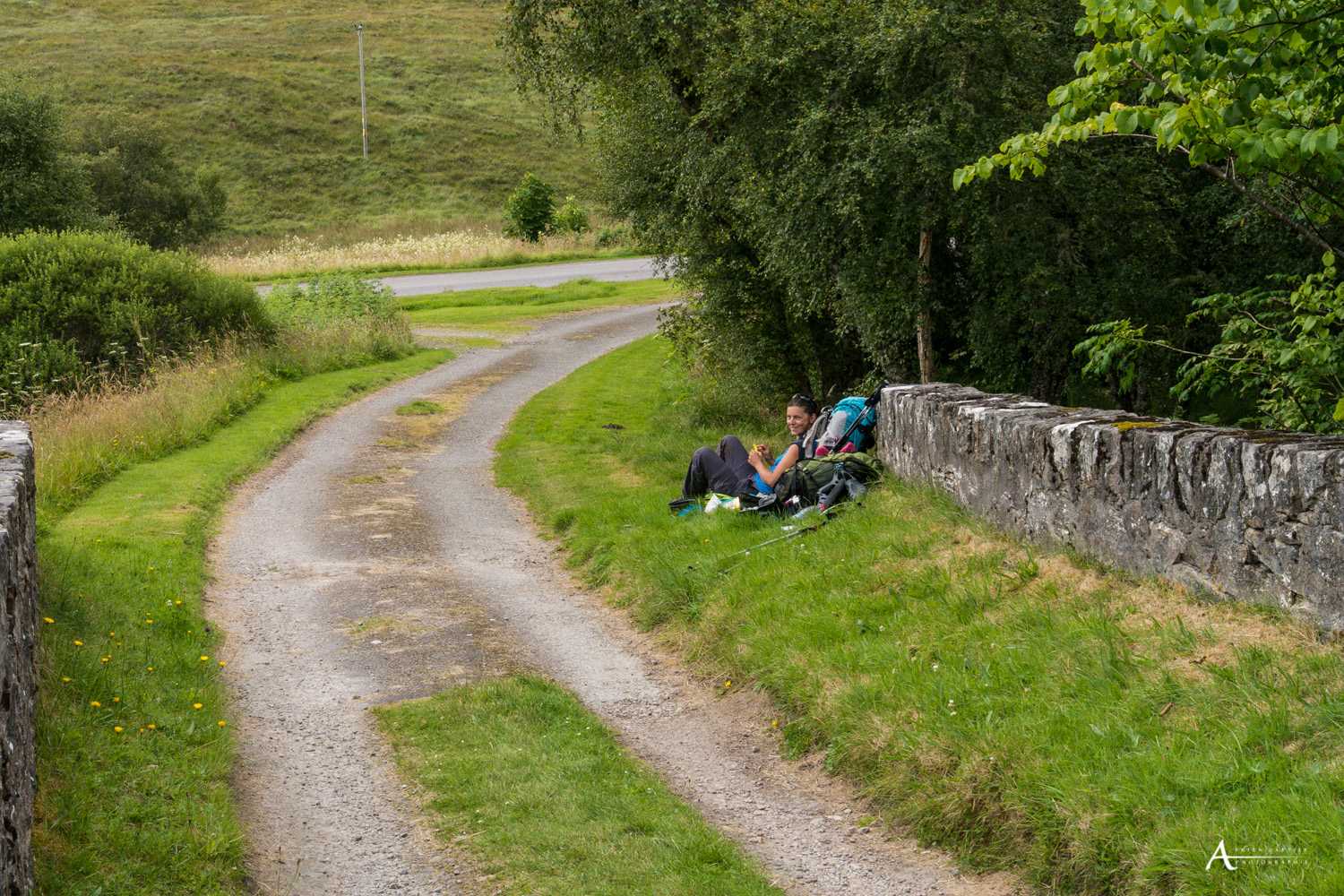
 Etape 6:Knockdamph
LE TOPO : Etape 6:Knockdamph (updated : 16 Sep 2015)
27.9km
+1133m
/ -234m
PLus d'infos--> http://www.ad-photos.fr/23-juillet-jour-7-loch-ailsh-oykel-bridge/
updated : 16 Sep 2015
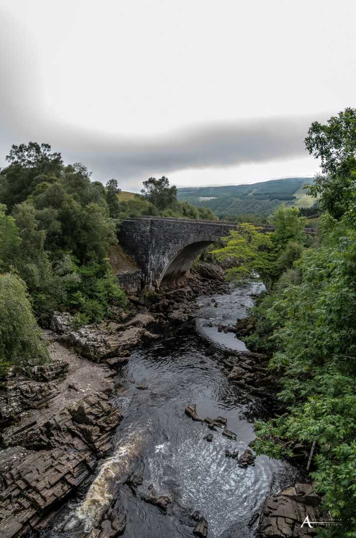
Arrêt à Oykel bridge

Nuit à Knockdamph bothy! parfait encore une fois, et à l'abri des taons!


Descente le long de la Oykel river

Baignade après le bothy Schoolhouse